


After the official inauguration on October 13, 2020, the space radar GESTRA (German Experimental Space Surveillance and Tracking Radar), developed on behalf of the German Aerospace Center (DLR), began test operation at its Schmidtenhöhe location near Koblenz. Once the tests are completed, GESTRA is expected to begin operations in early 2021 and, for the first time, will provide Germany independently with data for the creation of its own catalog of objects in low Earth orbit.
The DLR space management in Bonn has had GESTRA developed and built by the Fraunhofer Institute for High Frequency Physics and Radar Technology (FHR) in Wachtberg near Bonn over the past five years with funds from the Federal Ministry for Economic Affairs and Energy (BMWi). The data from the German experimental radar is processed in the space situation center operated jointly by the DLR Space Management and the Air Force in Uedem (Lower Rhine). The operation is financed by the Federal Ministry of Defense.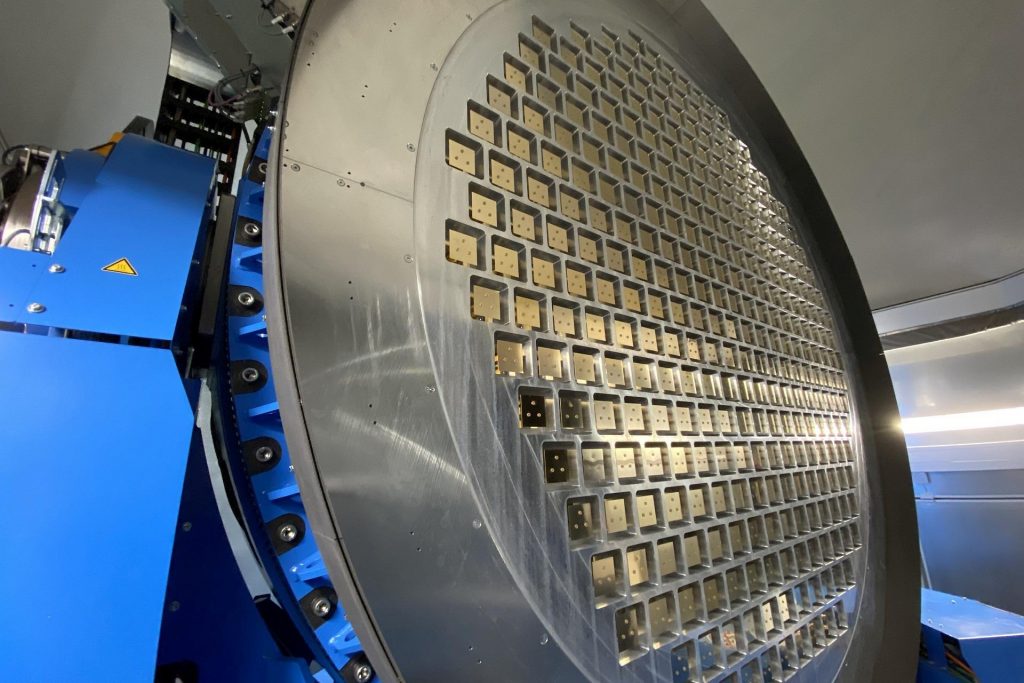
Thomas Jarzombek (Member of the Bundestag), Federal Government Coordinator for Aerospace, placed the new space radar in a national context: “Satellites have long been indispensable for the state, economy and society; key words here are navigation and communication services or earth observation data. We are currently experiencing an almost exponential growth in space use: According to the latest figures, there are now more than 3,000 active satellites orbiting the Earth. And in the future there will be significantly more.”
In view of this, a so-called space situation picture is becoming increasingly important for the protection and sustainability of space activities. “We need to know exactly where the satellites and tens of thousands of space debris objects are at any given time in order to prevent catastrophic collisions,” Jarzombek continued.
GESTRA is also involved at the European level as part of the EUSST (European Space Surveillance and Tracking) project. Germany's task here is to process the measurement data from the sensors contributing to EUSST into a European railway data catalog.
Several thousand satellites, spacecraft and other objects orbit at altitudes between 300 and 3,000 kilometers. There are not only deactivated satellites and upper rocket stages there, but also hundreds of thousands of small pieces of debris. Satellites and other space infrastructure such as the International Space Station (ISS) must therefore be monitored around the clock to avoid collisions. Due to the high speeds, a satellite can be completely destroyed in a collision in orbit. The resulting debris increases the risk of chain reactions and further collisions.
The Space Situation Center is part of the Air Force's Air Operations Center and is intended to contribute to the protection of space-based civil and military systems (e.g.: TanDEM-X, SatComBw-2, SAR-Lupe). For this purpose, warning messages about collisions and attacks in space and forecasts for the entry of objects into the earth's atmosphere are created.
Gerhard Heiming
Related topics
DLR chooses iSpace for space observation Radar warns of garbage in space Twelve new satellites for Galileo Twelve new satellites for Galileo Space monitoring: A joint departmental contribution to the responsible use of space Flight tests for “Sense & Avoid” Sensor system for autonomous flight successfully tested Fire support mission master DLR has space debris cataloged